
Life at the foot of Mount Mansfield
Underhill sits on the western slope of Vermont’s highest peak, with forests, farms, and mountain streams around the village.
Forests, farms and a summit trail
Underhill sits on the western slope of Mount Mansfield, Vermont’s highest peak. Forests, farms, and mountain streams surround the village, and the summit trail starts close to home.
Underhill State Park
Underhill State Park was built by the Civilian Conservation Corps in the 1930s.
The Sunset Ridge Trail
The most direct route to Mount Mansfield’s summit, about 3 miles each way. The Green Mountain Club maintains the trails.
Mountain views
Rural lots with views of Mount Mansfield.
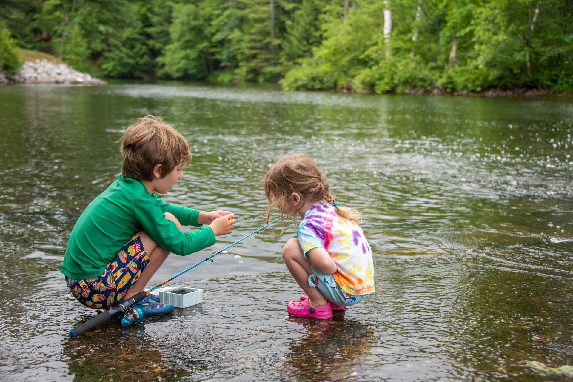
The Browns River
The Browns River and wooded back roads.
Everything close to home
There’s more to explore
Schools and colleges, health care, trails and skiing, arts and festivals, libraries and getting around, plus all 18 towns. You’ll find it all in the Chittenden County guide.
Find your place in Underhill
Browse homes for sale in Underhill, then filter by price and bedrooms or switch to the map. Click any home for photos and details.
Ready to write your own story? Let’s talk.
Get in Touch →